Hiking and trail running in the Madrid region
Routes I've done in the Madrid mountains. Here are the ones I enjoyed, with their Wikiloc link in case you want to follow them.
“Consider a simple walk in a forest as opposed to a walk in an urban setting. A walk in the forest lowers salivary cortisol, which is a measure of stress, by an average of between 13.4% when contemplating the forest and 15.8 % by the end of the walk, and heart rate drops between 3.9% while viewing it and 6% after the walk, while systolic pressure also decreases. Parasympathetic activity (the feeling of relaxation) increases by 102% after walking, and sympathetic activity (the feeling of stress) drops by 19.4%. All these changes in our body are simply the result of taking a walk in the forest.”
— Jeremy Rifkin, The Age of Resilience, citing Park et al. (2009).
I have no way to check those numbers in my own body, I’ve never measured my cortisol after climbing a mountain, but I can say that the difference between walking in the mountains and walking in the city is huge. I’ve been going to the mountains for years because of that, and I want to keep doing it: I think it’s worth moving your body, every now and then, in places where there are trees, stones or sea, and not only at your front door.
Here I want to share some of the routes I do in the Sierra Norte de Madrid, the ones I enjoy the most and tend to repeat week after week. They are all gathered in this Wikiloc list.
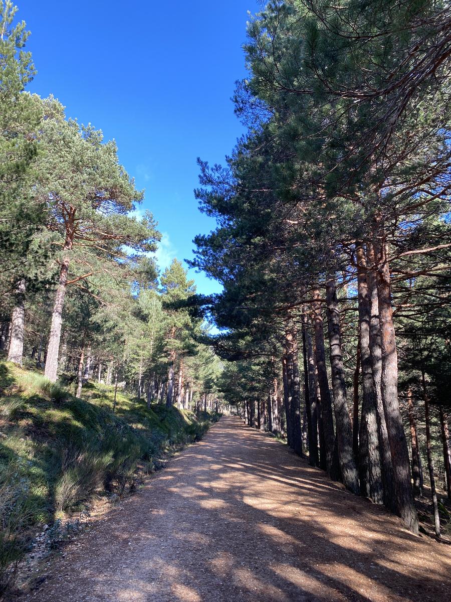
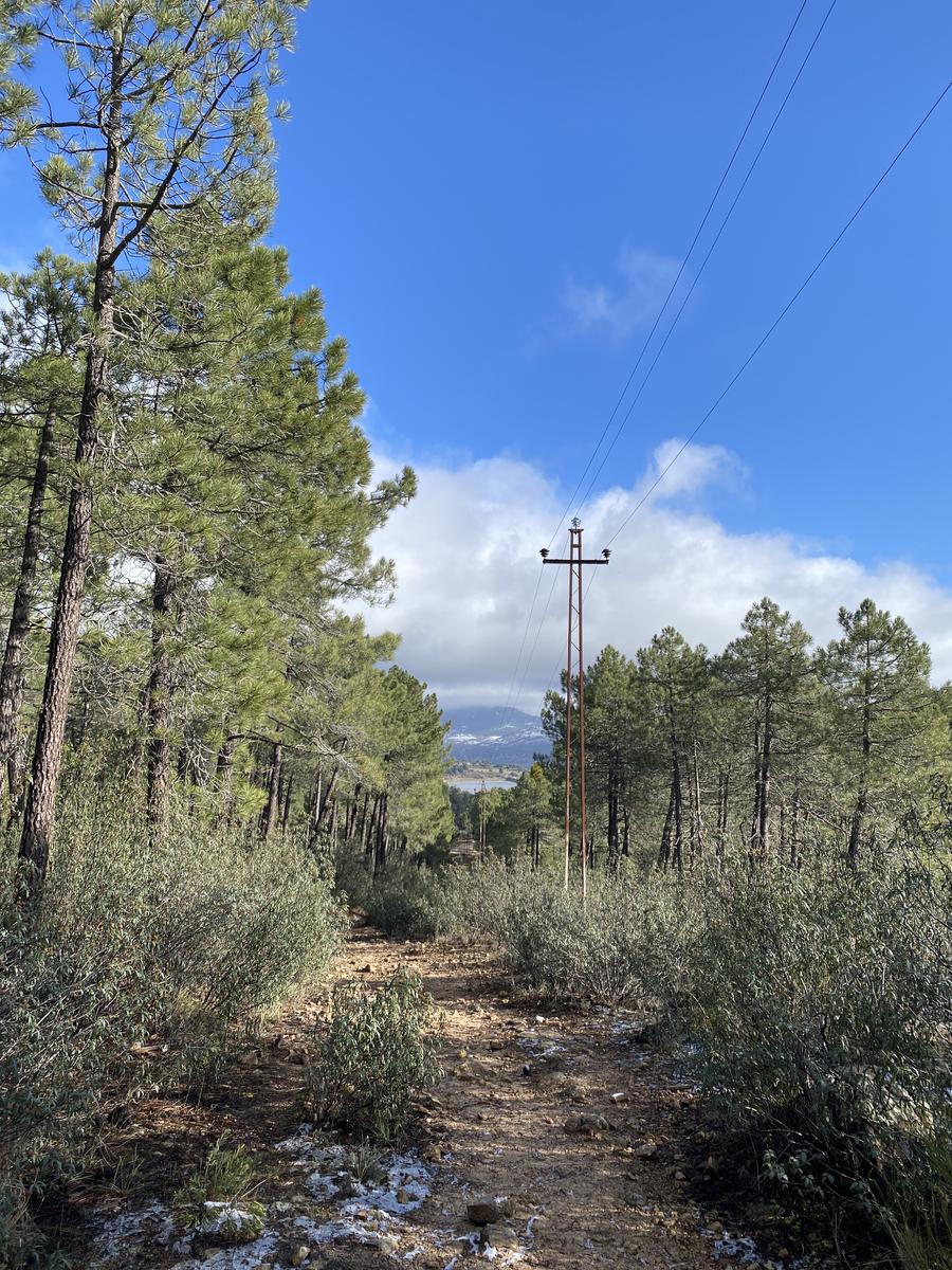
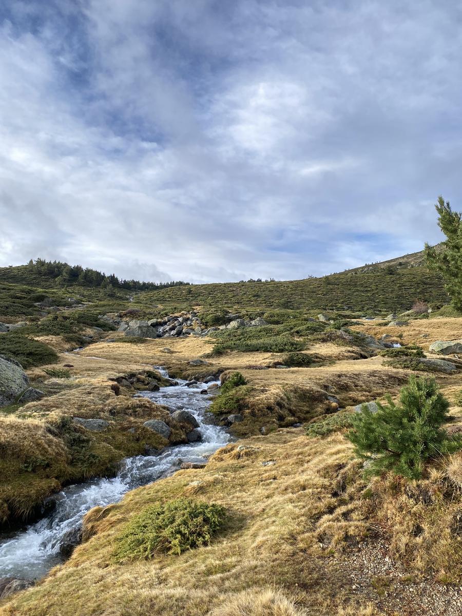
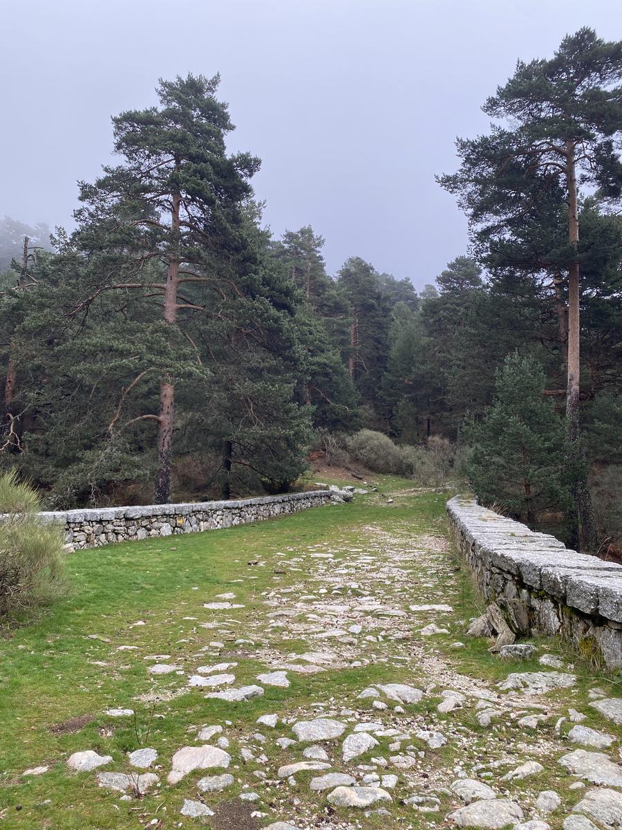
El Bosque Plateado
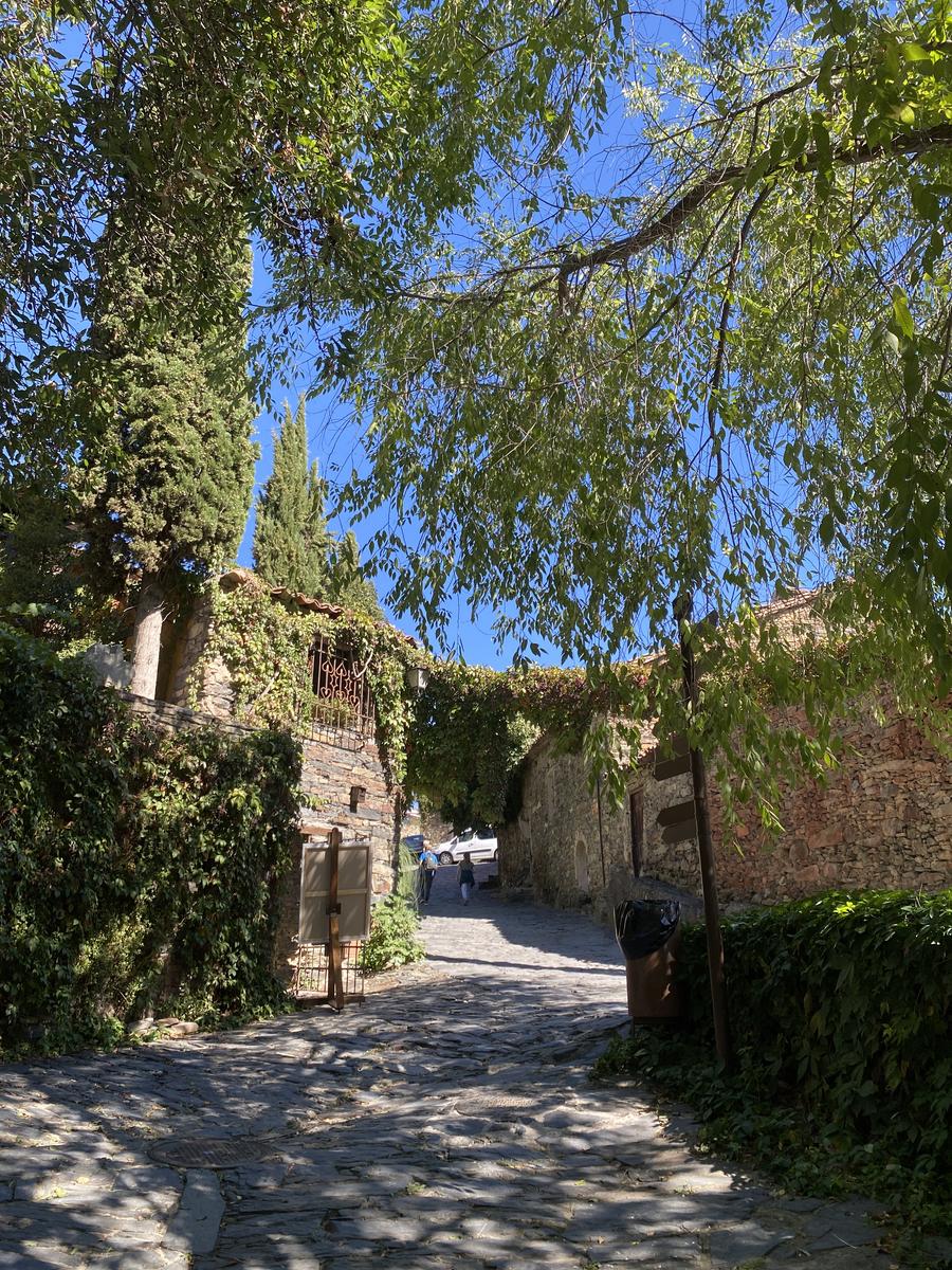
12.47 km 355 m+
The route starts at the Embalse de la Jarosa car park and follows the Camino del Bosque Plateado. It's an easy route, very simple to follow: it runs along marked paths that are mostly wide.
Route
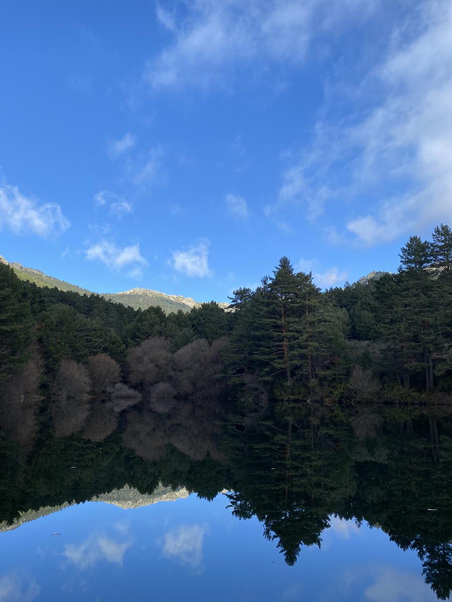
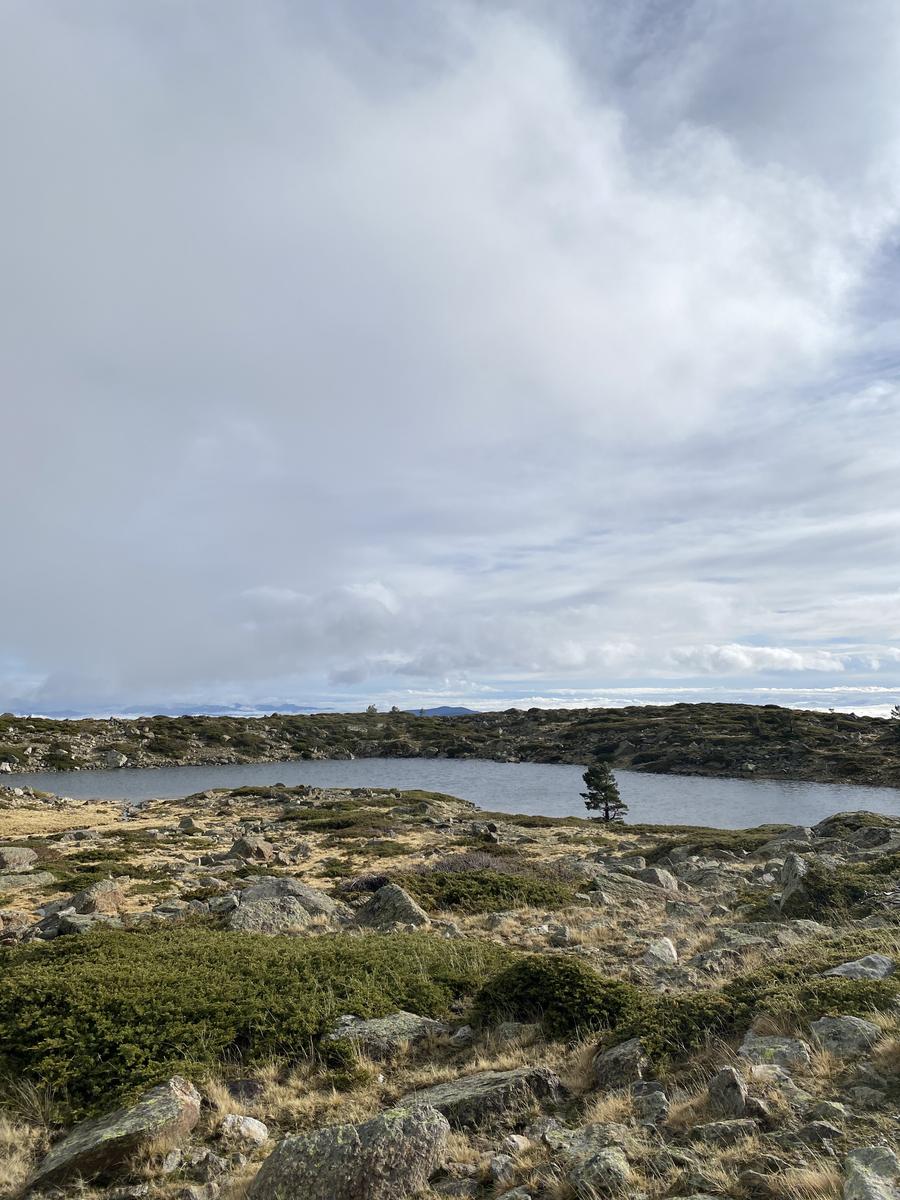
Las Lagunas de Navacerrada
12.11 km 558 m+
The route starts at the Peñalara Visitor Centre and tours the five lagoons of the massif, including the Laguna Grande de Peñalara. It's one of the most beautiful routes I've done in the Madrid region — fully recommended if you've never been up to the lagoons.
Route
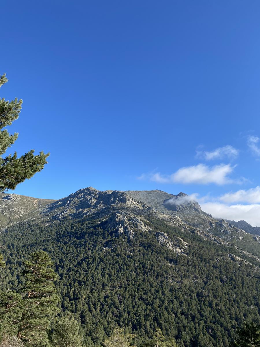
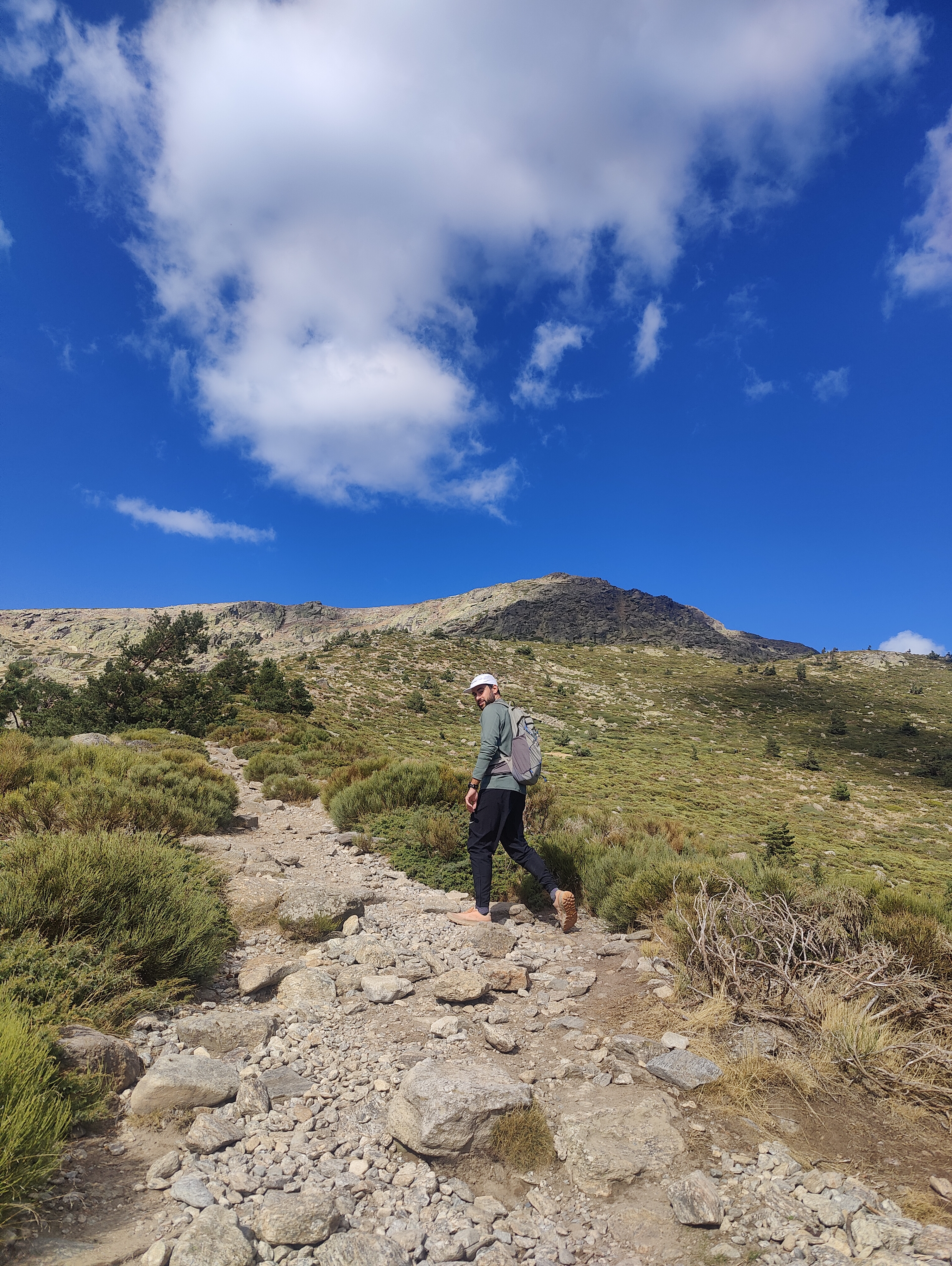
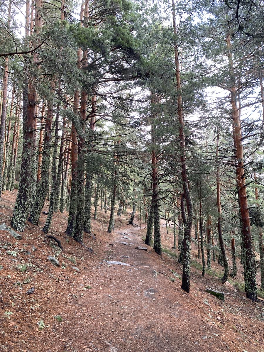
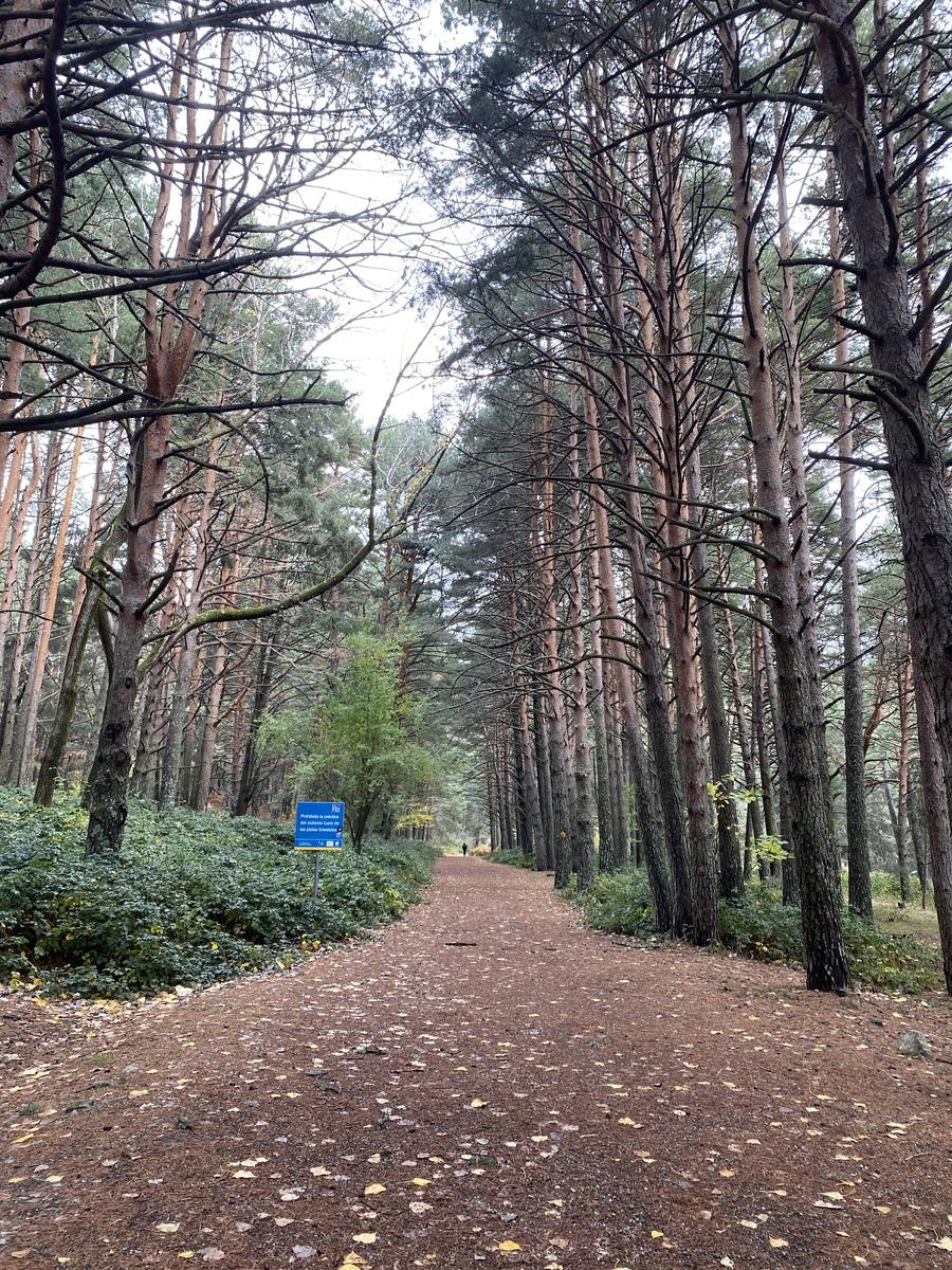
Las Dehesas — Puerto de Navacerrada via the Camino Schmid
18.46 km 789 m+
The route starts at Las Dehesas, very close to Cercedilla, and reaches the Puerto de Navacerrada via the famous Camino Schmid: a classic, well-signposted trail (PR‑M/SG‑5) in the Sierra de Guadarrama that connects the pass with the Fuenfría valley, skirting Siete Picos up to Collado Ventoso. More context on Wikipedia or at Conoce Cercedilla.
Route
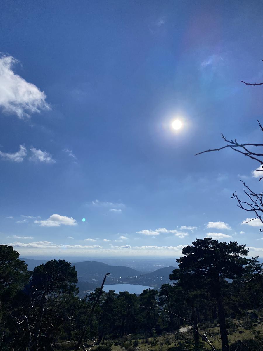
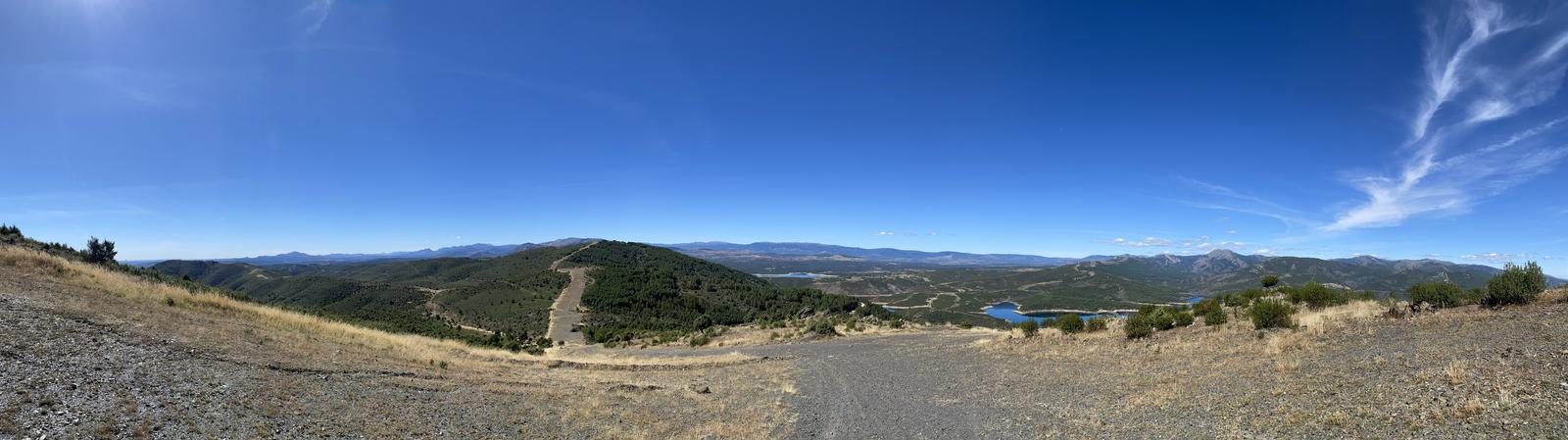
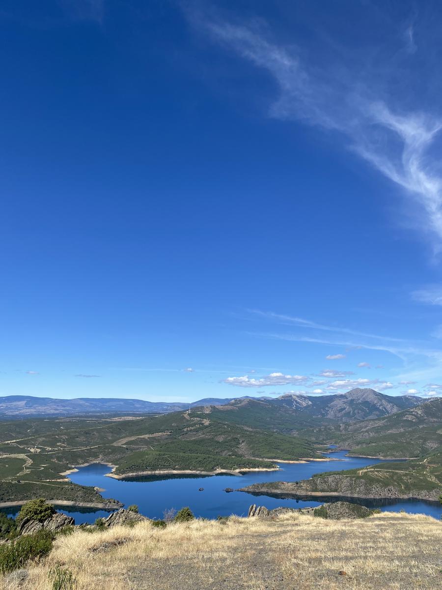
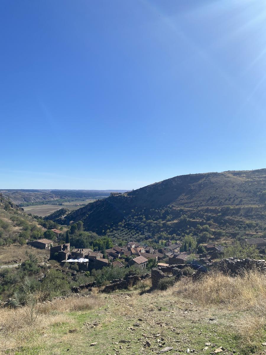
From Patones de Abajo to Cancho de la Cabeza
14.12 km 621 m+
The route starts at a large free car park in Patones de Abajo, climbs up to Patones de Arriba and from there does a circular loop to the Cancho de la Cabeza viewpoint, mostly along the Senda del Genaro. From the highest point there are stunning views of the El Atazar reservoir and the Sierra Norte de Madrid.
Route
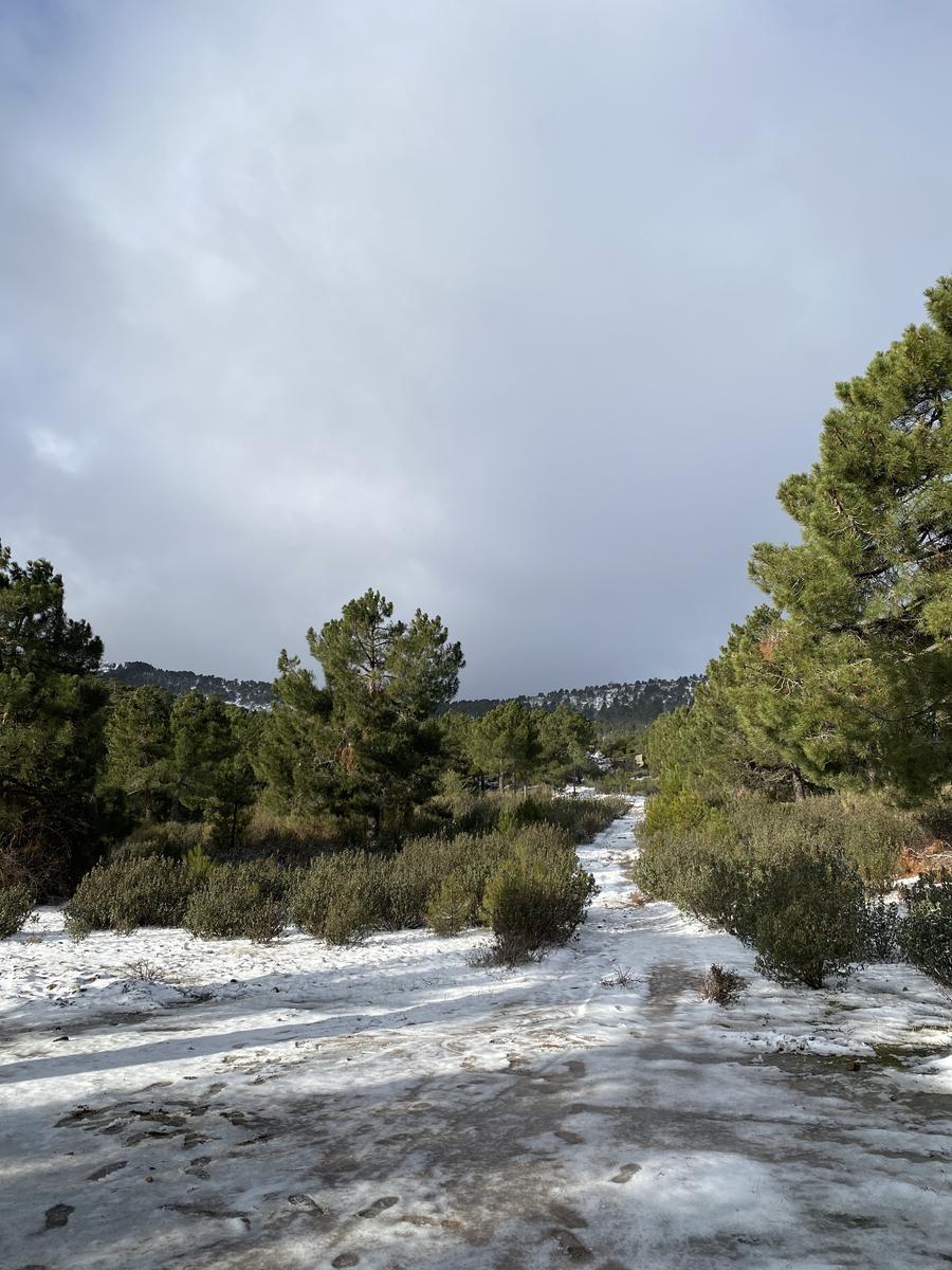
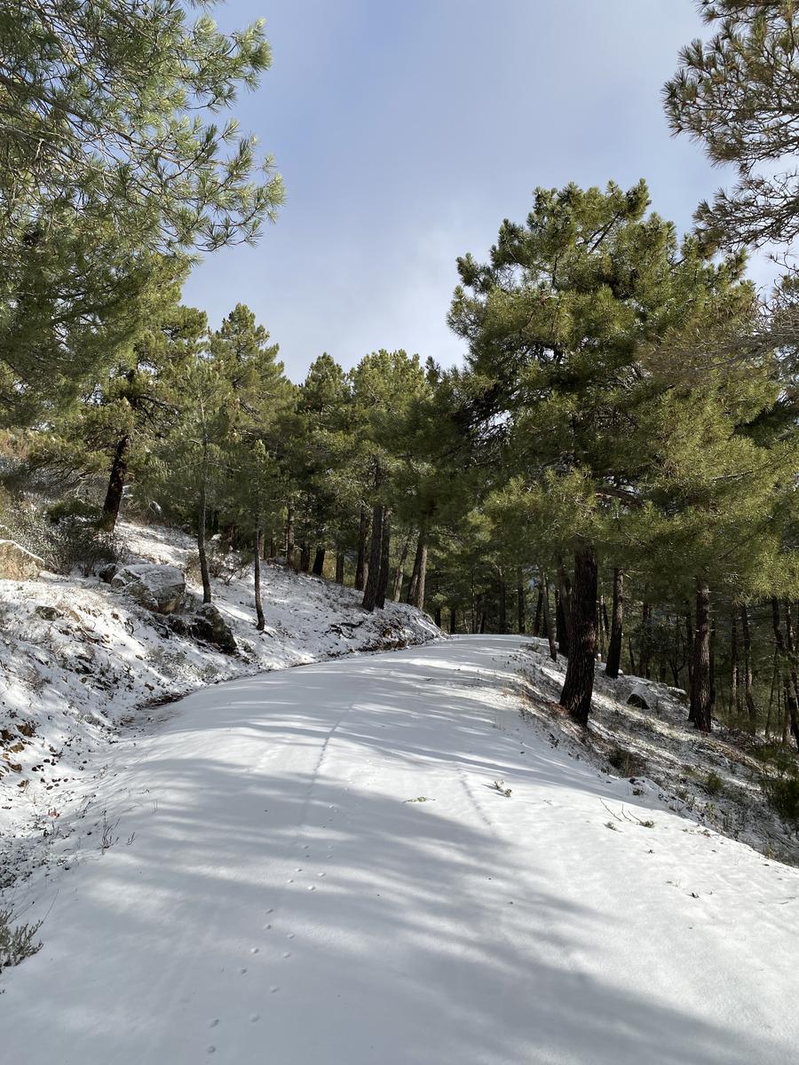
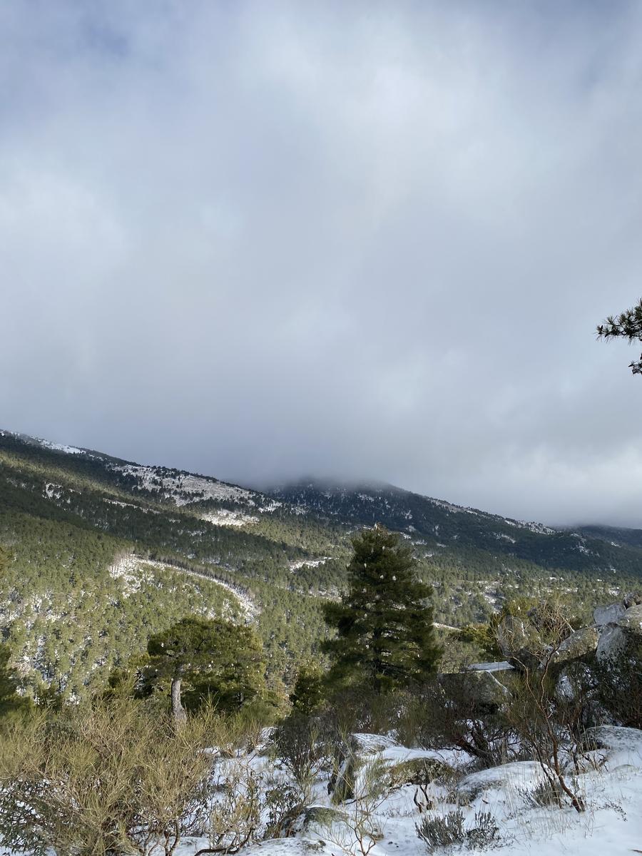
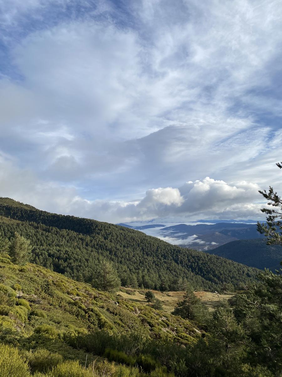
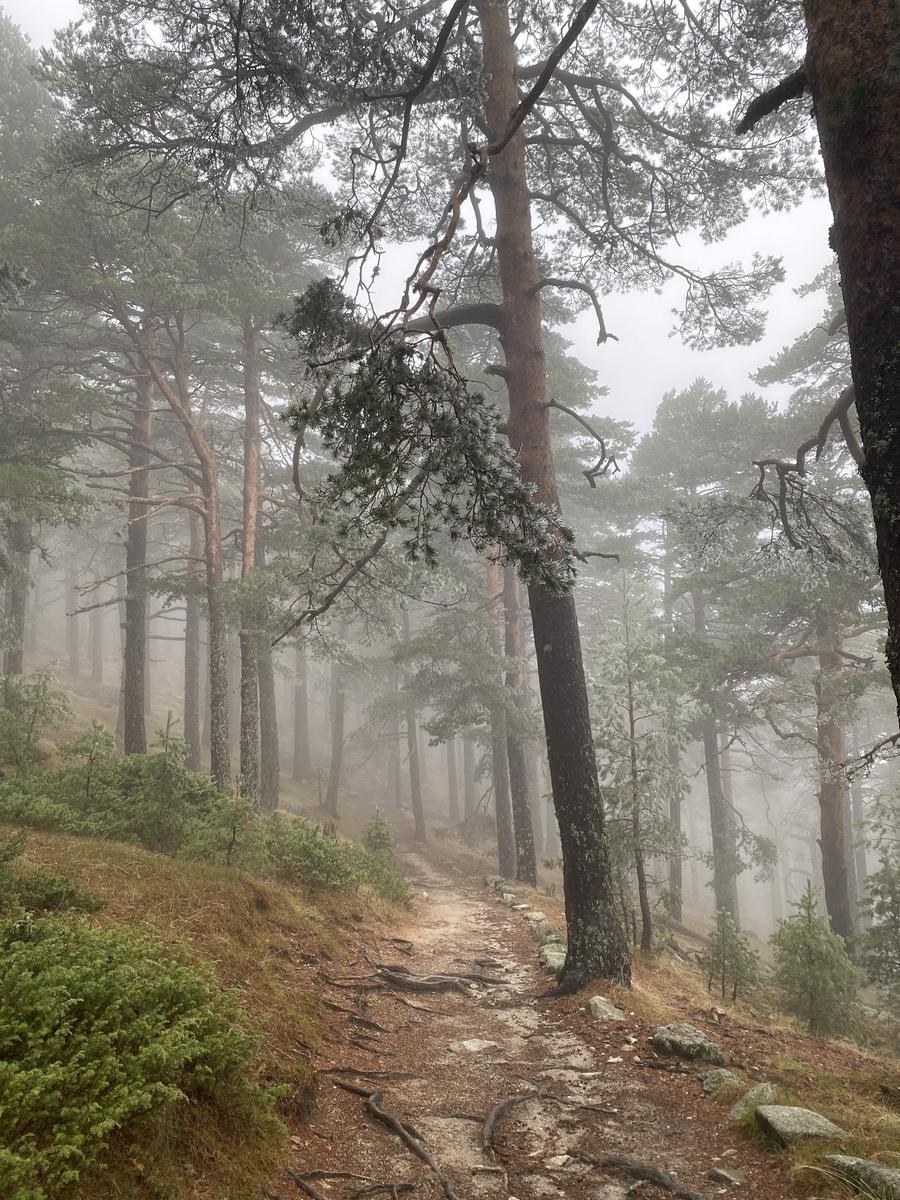
Senda de la Barranca
10.41 km 426 m+
A route through the Navacerrada mountains from the Barranca reservoir up to the Mirador de las Canchas and back. Most of the path runs along a wide, easy track; the final section of the descent drops along a narrower, steeper path.